

Quick answer
A cote de nuits wine map typically divides the region into its eight primary wine villages—Marsannay, Fixin, Gevrey-Chambertin, Morey-Saint-Denis, Chambolle-Musigny, Vougeot, Vosne-Romanée, and Nuits-Saint-Georges—with climat parcels and Grand Cru vineyards marked by parcel name and appellation boundary. The vineyards occupy a narrow band between 250 and 350 meters elevation, rarely more than two kilometers wide, with the most prestigious sites positioned mid-slope where drainage, sun exposure, and limestone bedrock converge.
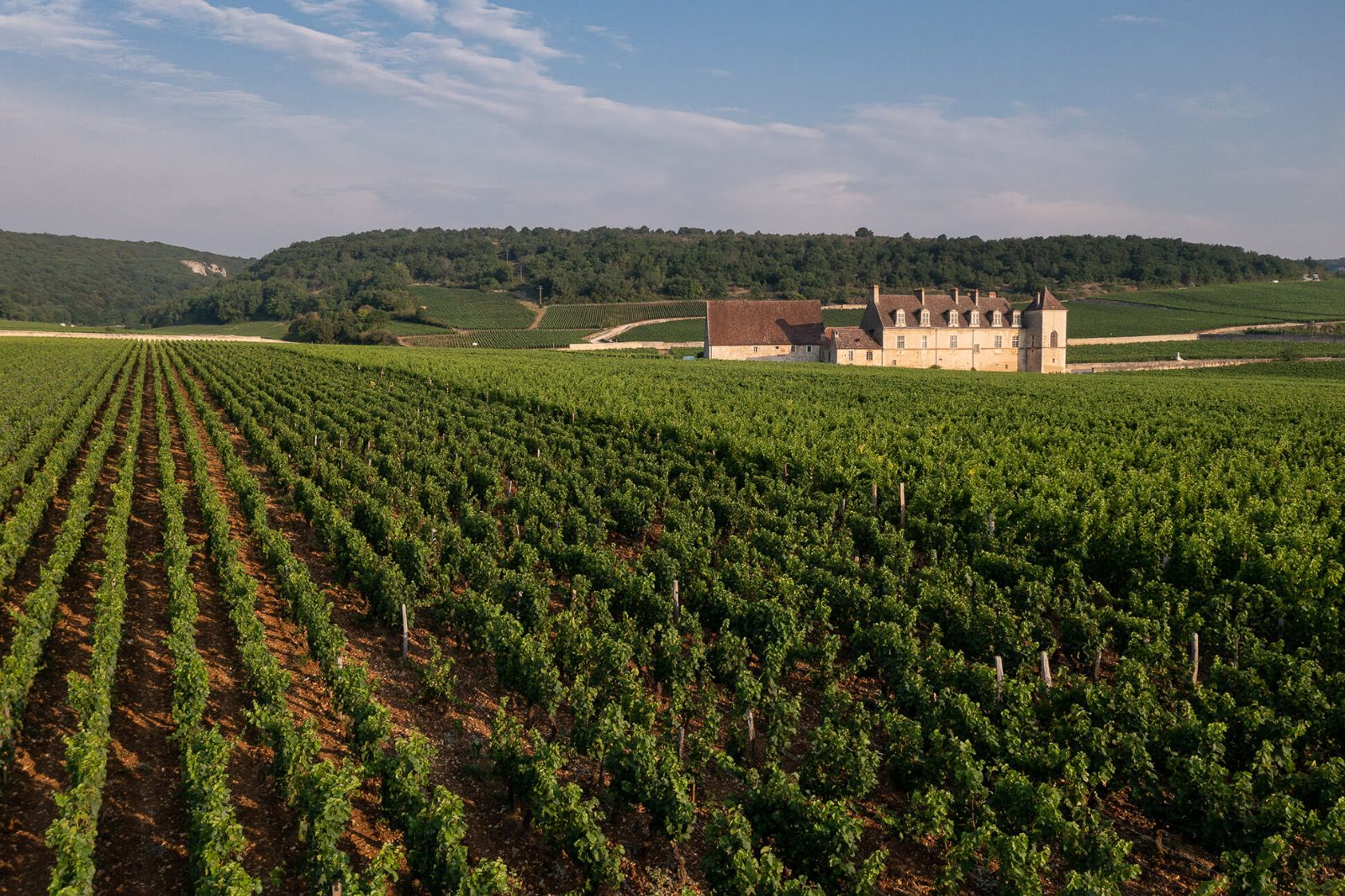
The Côte de Nuits occupies one of the most densely classified wine landscapes on earth: 1,400 hectares subdivided into hundreds of named climats, each with its own appellation status, soil profile, and centuries of recorded harvest data. A cote de nuits wine map is not a tourist schematic but a legal and geological document, tracing boundaries that determine whether a parcel may label its wine Gevrey-Chambertin, Gevrey-Chambertin Premier Cru, or Chambertin Grand Cru. Those distinctions rest on slope angle, bedrock composition, and historical performance, not arbitrary zoning. The region's geography follows a consistent north-south orientation along the Côte d'Or escarpment. Villages cluster at the base of the slope, where the D974 highway runs parallel to the vineyards. Grand Cru parcels occupy the mid-slope, where Jurassic limestone lies close to the surface and eastern exposure maximizes morning sun. Premier Cru sites sit above and below, and village-level appellations extend toward the valley floor and upslope margins. Reading a Burgundy wine map means recognizing that a few dozen meters of elevation can separate a €30 bottle from a €300 one. Vosne-Romanée contains the highest concentration of Grand Cru land, including Romanée-Conti, La Tâche, and Richebourg. Gevrey-Chambertin holds nine Grand Crus, more than any other commune. Chambolle-Musigny is known for lighter, aromatic wines shaped by thinner topsoil over limestone. Morey-Saint-Denis lies between them, less famous but equally rigorous in its parcel classification. Each village maintains a tasting room or cooperative, and most Premier Cru and Grand Cru parcels are signposted along the vineyard roads that run perpendicular to the highway. Most estate visits require advance booking, but the region's vineyard roads are public and navigable by car or bicycle. A detailed appellation map—available from the Beaune tourism office or downloaded as a georeferenced PDF—shows parcel boundaries, estate locations, and the network of chemin rural trails that cross the vineyards. Pair the map with harvest dates and you can watch pickers working Grand Cru parcels in late September, or trace the stone walls that have divided climats since the Middle Ages. The Côte de Nuits rewards preparation: the landscape looks uniform from the highway, but the map reveals the grid of distinctions that underpin Burgundy's entire classification system.
“A few dozen meters of elevation can separate a thirty-euro bottle from a three-hundred-euro one.”
Notable Appellations on the Côte de Nuits Wine Map
The Côte de Nuits, often called the Champs-Élysées of Burgundy, stretches from Dijon to Corgoloin and contains the majority of the region's red wine Grand Cru appellations. Understanding these key village sites helps clarify the geographic structure of the slope.
Gevrey-Chambertin
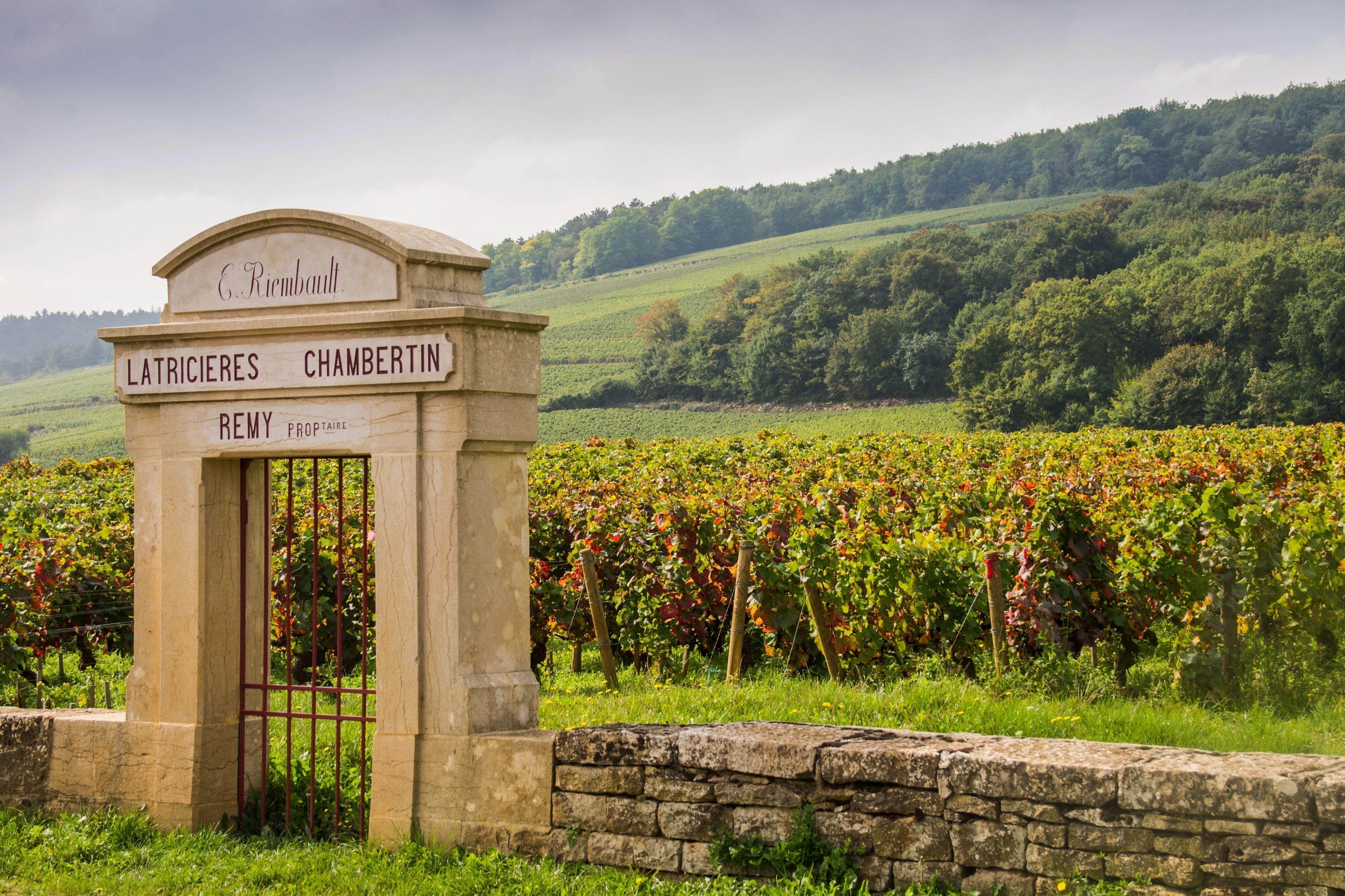
Home to nine Grand Cru vineyards, this village is known for producing structured and powerful Pinot Noir. The slope here faces east, maximizing sunlight exposure for the vines.
Follow the D122 road for views of the walled Clos de Bèze.
Vougeot
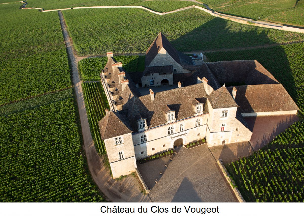
This site is dominated by the Clos de Vougeot, a large walled vineyard surrounding a historic château. It represents a significant landmark when navigating the center of the Côte.
Park near the château to see the historic stone walls.
Vosne-Romanée
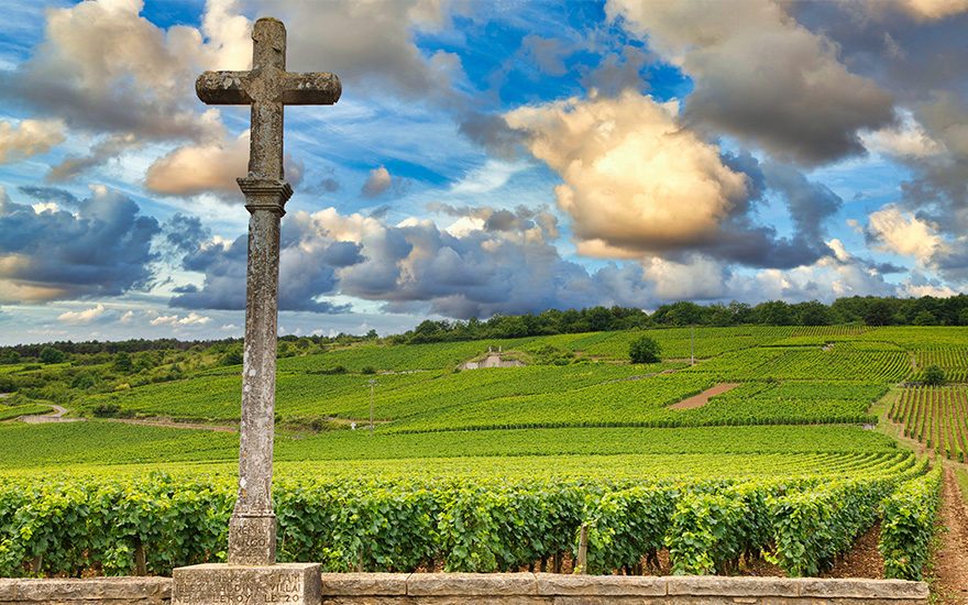
Renowned for its concentration of Grand Cru sites, this village produces some of the most sought-after wines in the world. The geography is characterized by gentle slopes and specific soil composition.
View the Romanée-Conti vineyard from the adjacent public path.
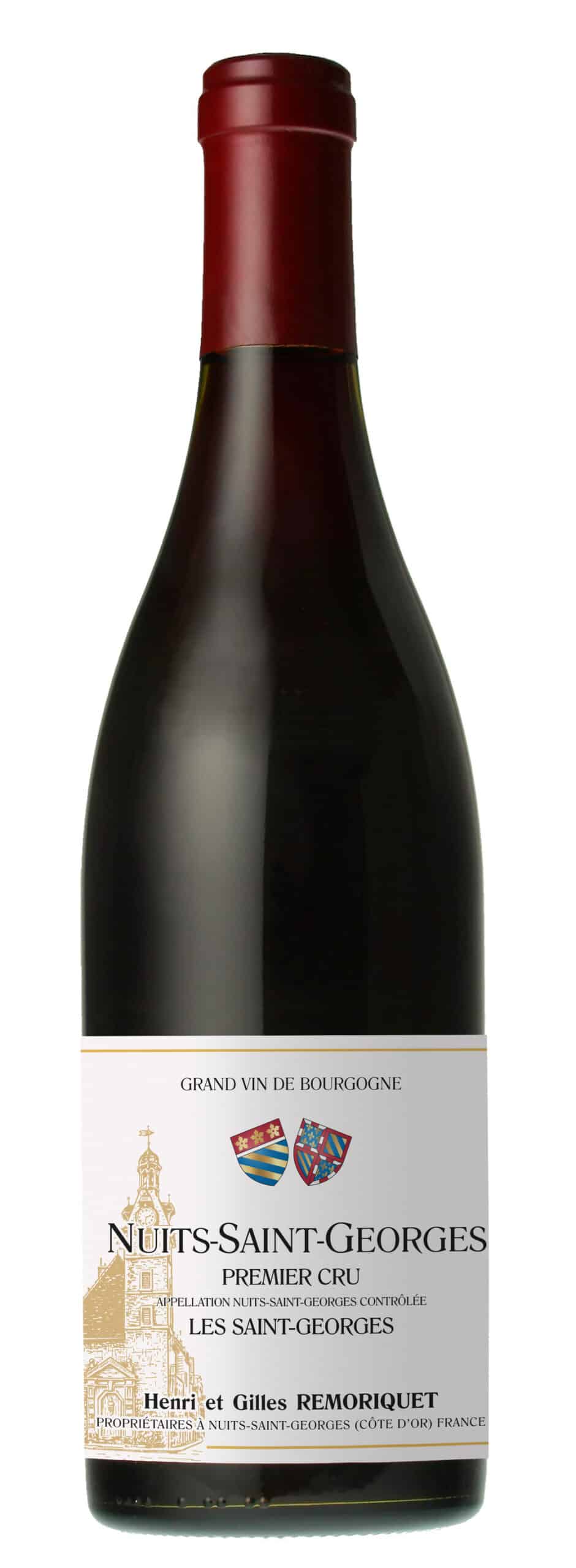
Nuits-Saint-Georges
Giving the Côte its name, this town marks the southern portion of the region and features many premier cru vineyards. The landscape here transitions into wider valleys and varying soil types.
Walk the trail near the Les Saint-Georges vineyard.
Navigating to the Côte de Nuits Wine Map
The Côte de Nuits is located in Burgundy, France, stretching south from Dijon toward Beaune. Accessing the various vineyard villages is most efficiently achieved by car via the D974 route or by regional rail services connecting the two main hubs.
D974 road via Dijon or Beaune
TER Bourgogne-Franche-Comté to Gevrey-Chambertin or Nuits-Saint-Georges
Direct hire from Dijon or Beaune city centers
Weekly Operating Schedule for Côte de Nuits Wine Map Sites
The Côte de Nuits is a wine-producing region rather than a single attraction, meaning there are no standardized operating hours for the area itself. Please note that individual estates and mapped sites maintain their own schedules.
| Monday | Closed | |
|---|---|---|
| Tuesday | Closed | |
| Wednesday | Closed | |
| Thursday | Closed | |
| Friday | Closed | |
| Saturday | Closed | |
| Sunday | Closed |
Check availability
Frequently asked questions about cote de nuits wine map
Everything you need to know about cote de nuits wine map